
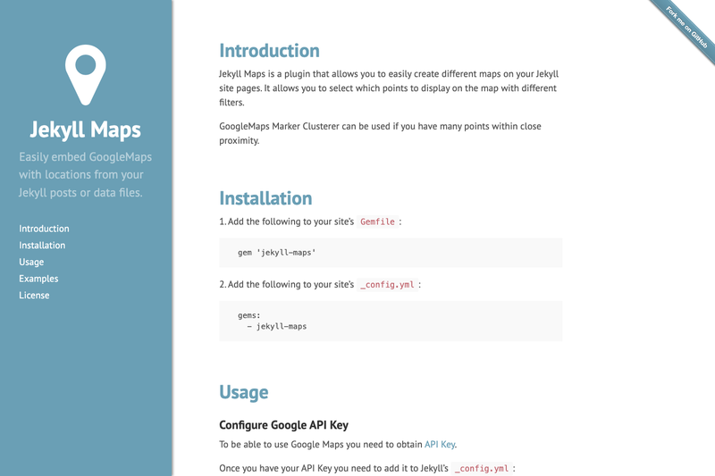
Jekyll Maps is a Jekyll plugin that embeds Google Maps with filterable, clustered location points into any page of a Jekyll site.
What is Jekyll Maps?
Jekyll Maps is an open-source Ruby gem and Jekyll plugin that adds a google_map Liquid tag to your site. It accepts location data from page front matter, posts, custom collections, or data files and renders a Google Map with markers. The plugin requires a Google Maps JavaScript API key, which you configure in _config.yml. It was created by ayastreb and is distributed under the MIT License.
Key Features
- Flexible data sources — Locations can come from YAML front matter, documents in collections, or data files in
_datadirectories; thesrcattribute lets you point to a specific folder like_posts/2016or_data/my_points. - Multiple locations per post — Front matter may contain a single location object or an array of objects with latitude, longitude, optional title, image, and URL.
- Filterable maps — Add attributes such as
lang="en"to agoogle_maptag to show only locations whose documents have matching front-matter values. - Marker clustering — Google Maps Marker Clusterer is enabled by default to group nearby markers; you can disable it globally in
_config.ymlusingmaps.google.marker_cluster.enabled: falseor per tag withno_cluster. - Customizable dimensions — Set
widthandheighton the tag, and assign a custom CSS class viaclassfor styling. - Direct marker placement — Pass
latitude,longitude,marker_title,marker_img, andmarker_urlattributes to create a single-marker map without external data. - Installation via Gemfile — Add
gem 'jekyll-maps'and list it in thepluginsarray in_config.yml.
Who is it for?
- Jekyll site owners who need to display location markers without hand-coding JavaScript map initialization.
- Travel and event bloggers who want to map posts by adding latitude and longitude to post front matter.
- Developers building location-based Jekyll sites who need to pull location data from collections or data files and apply filters.
- Static site users who prefer a simple Liquid-tag workflow over maintaining separate map widgets.
What can you do with Jekyll Maps?
- Travel bloggers: embed a map on a page showing markers for every post tagged with a certain location or year by using
src="_posts/2016". - Business directories: load store or office locations from a
_datasub-folder and display them on a map page. - Event sites: show venues from a collection, filter by language or other metadata, and take advantage of clustering when venues are dense.
How does Jekyll Maps work?
First, add the gem to your Gemfile and _config.yml. Next, obtain a Google Maps JavaScript API key and set it under maps.google.api_key. Then add location data to front matter or data files, and insert {% google_map %} in a template. The plugin reads the location data, applies any filters, and renders a Google Map with the configured dimensions.
Pricing
Jekyll Maps is released under the MIT License, so it is free to use, copy, and distribute.
FAQ
Do I need a Google API key to use Jekyll Maps?
Yes, you must have a Google Maps JavaScript API key. Add it to _config.yml under maps.google.api_key. The plugin will not render maps without a valid key.
How do I add multiple locations to one post?
In your post's YAML front matter, define location as a list of objects, each with latitude and longitude. You can optionally include title, image, and url for each marker.
Can I load locations from data files instead of posts?
Yes, use src="_data/my_points" in the google_map tag to load location entries from all data files in that sub-folder.
Is marker clustering always on?
Marker Clusterer is enabled by default. To turn it off globally, set maps.google.marker_cluster.enabled: false in _config.yml, or add no_cluster to an individual tag to disable it for that map.
Does Jekyll Maps support custom marker icons?
Yes, each marker can have a custom image. When defining locations in front matter or data files, include an image property; when placing a single marker directly in the tag, use marker_img.